 Roads & drainage
Flood Risk & Hydrology Report Issued
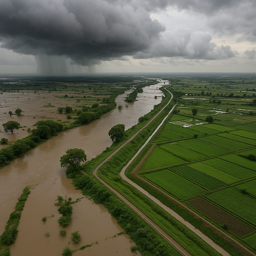
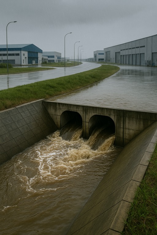
GANDHINAGAR: In a vital step toward sustainable planning, authorities released a comprehensive flood vulnerability and hydrological assessment report for the Dholera Special Investment Region (DSIR). The study highlights the region’s flat, low-lying geography and its exposure to monsoonal flooding, tidal surges, and drainage limitations, making flood resilience a critical component of long-term urban planning.
Conducted as part of the Environmental Impact Assessment (EIA) process, the report outlines the hydrological challenges posed by surrounding rivers and tributaries, especially during peak rainfall periods. To mitigate these risks, the report recommends:
- Riverbed dredging to enhance water flow capacity
- Canalizing smaller tributaries for better water diversion
- Construction of protective bunds along flood-prone edges
- Elevation of arterial roads and infrastructure corridors
- Integration of green buffer zones to absorb excess water during monsoon peaks
The findings offer a strategic framework for embedding flood control systems into the broader master plan of Dholera SIR, ensuring climate resilience and operational safety for future industries, transport corridors, and housing clusters.
This report was instrumental in shaping the environmental guidelines later adopted in the TP schemes and serves as a foundation for long-term water management and infrastructure safety measures across DSIR. It reflects the state's proactive approach in addressing environmental risks through science-backed planning before large-scale development begins.
 Roads & drainage
Gujarat Signs Agreement to Develop Roads, Water, and Drainage in Dholera
 Roads & drainage
Gujarat Approves Budget to Boost Dholera’s Infrastructure Development
 Roads & drainage
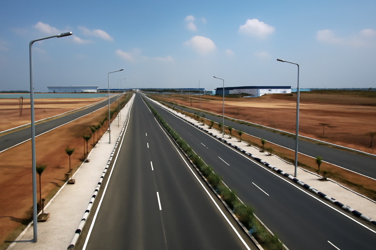
Dholera SIR Completes Key Road Infrastructure to Support Industrial Units
 Roads & drainage