 Roads & drainage
Flood Management Integrated in Dholera TP Scheme Designs
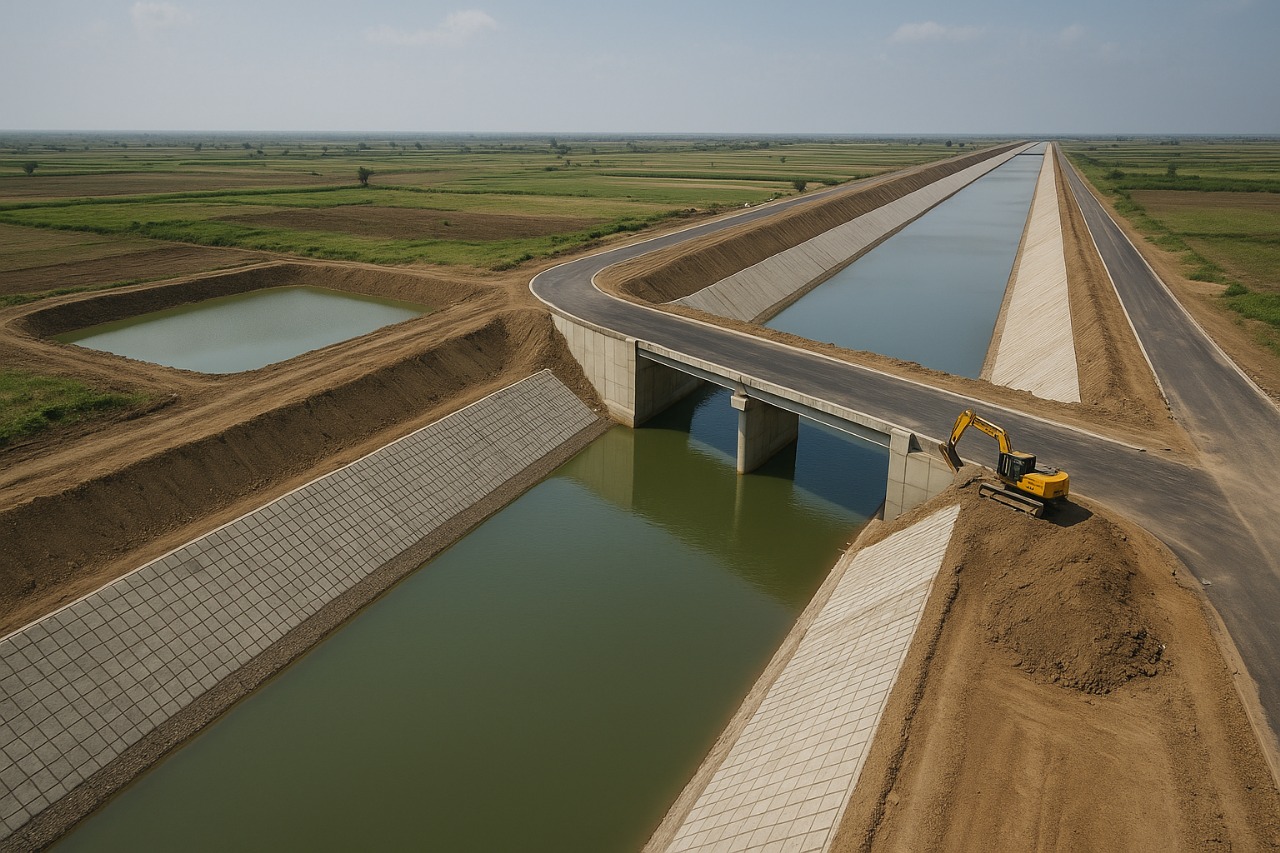
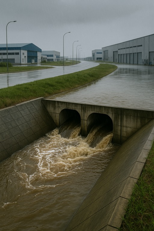
DHOLERA: The draft plans for Town Planning Schemes 1 and 2 under the Dholera Special Investment Region (SIR) have been unveiled with a strong focus on integrated flood-control infrastructure. Given the low-lying geography of Dholera and the region’s historical exposure to seasonal flooding, authorities have taken proactive measures by embedding comprehensive flood management features into the planning blueprints.
Key elements include stormwater drainage systems, elevated road networks, protective bunds, and retention ponds, which are strategically planned to collect, channel, and store excess rainwater during the annual monsoon period. These infrastructure components are designed not only to manage water flow but also to protect roads, buildings, and public utilities from flood damage.
The incorporation of these flood-mitigation features within the TP schemes demonstrates a forward-looking approach, aligning urban development with environmental realities. These design frameworks are also set to guide the engineering and construction of the Activation Area, where the initial phase of trunk infrastructure works—including roads, utilities, and site preparation—is expected to begin.
Government officials stated that such measures are vital to ensuring the durability and reliability of the smart city's base infrastructure and to instilling investor confidence. By adopting a climate-resilient planning model early in the development cycle, Dholera SIR is setting a benchmark for sustainable urbanization in India.
 Roads & drainage
Gujarat Signs Agreement to Develop Roads, Water, and Drainage in Dholera
 Roads & drainage
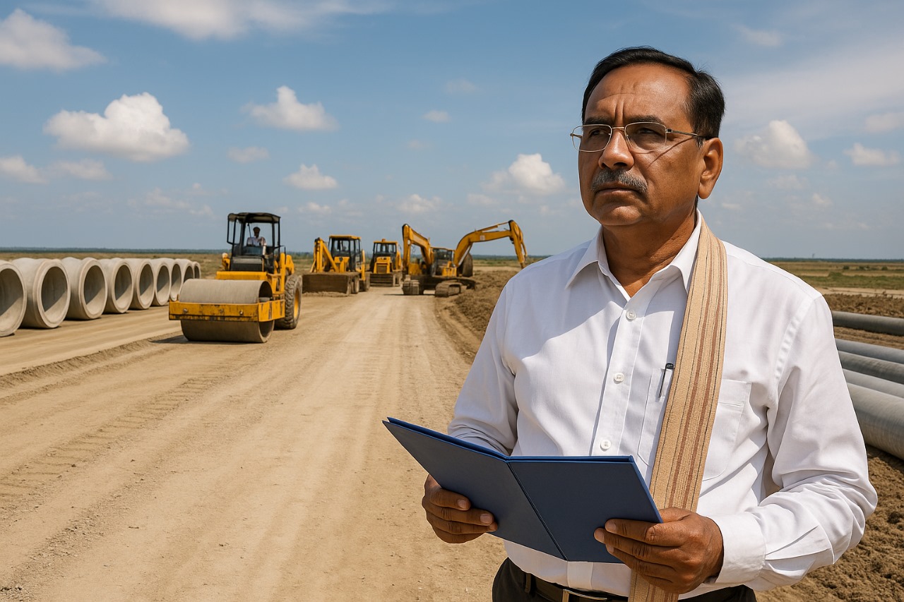
Gujarat Approves Budget to Boost Dholera’s Infrastructure Development
 Roads & drainage
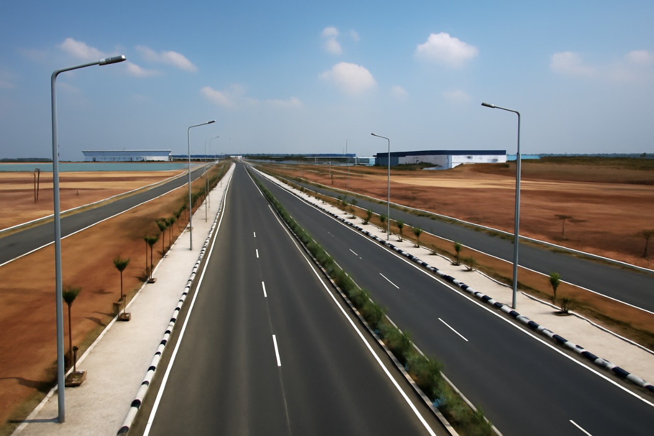
Dholera SIR Completes Key Road Infrastructure to Support Industrial Units
 Roads & drainage