 Single-window clearance updates
Digital Records Management Launched for Dholera Land Parcels.
DHOLERA, LATE 2011:
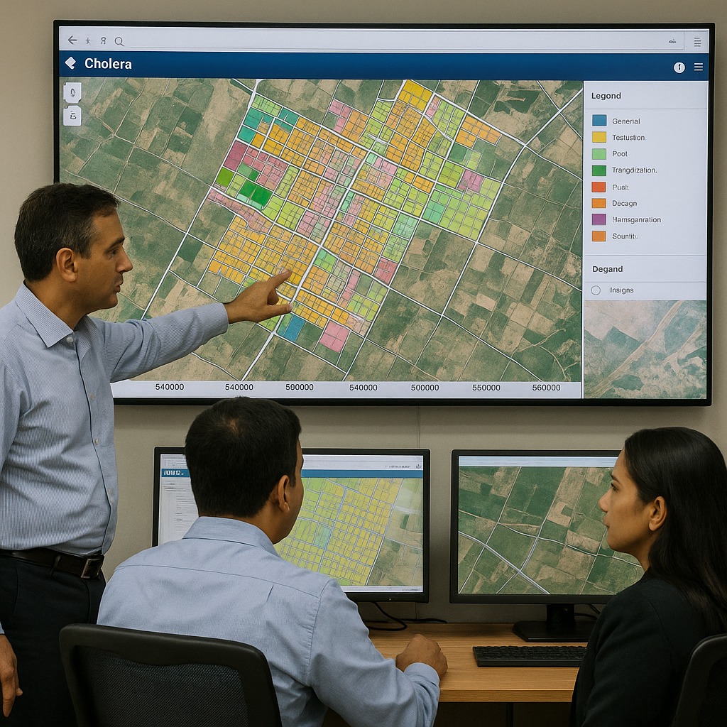
In a major move toward transparent governance and smart planning, the Dholera Special Investment Region Development Authority (DSIRDA) announced the successful launch of digitized land records management across the region. This system uses Geographic Information System (GIS) mapping to geo-reference every land parcel within the 920-square-kilometer boundary of Dholera SIR.
Each plot has been geo-tagged with latitude and longitude coordinates, along with ownership history, size, type, and current status. The initiative provides a single-window digital registry that streamlines land pooling, plot verification, and investor due diligence.
Key benefits of this transformation include:
- Real-time land access data for government and developers
- Improved transparency in land allotment and acquisition
- Enhanced efficiency in urban planning workflows
- Reduction in land-related disputes and fraudulent claims
Authorities claim this digital layer will serve as the foundation for smart zoning, utility placement, and infrastructure rollouts in upcoming phases of the Dholera masterplan. The platform is also integrated with high-resolution satellite imagery and cadastral data, ensuring granular accuracy.
By digitizing its land bank and adopting smart governance tools, Dholera becomes one of the first Indian greenfield cities to take such a step before large-scale urbanization. This move is expected to boost investor confidence, speed up project approvals, and promote fair land use practices under the Dholera SIR framework.

