 Roads & drainage
Survey Teams Begin Topography Mapping in Dholera
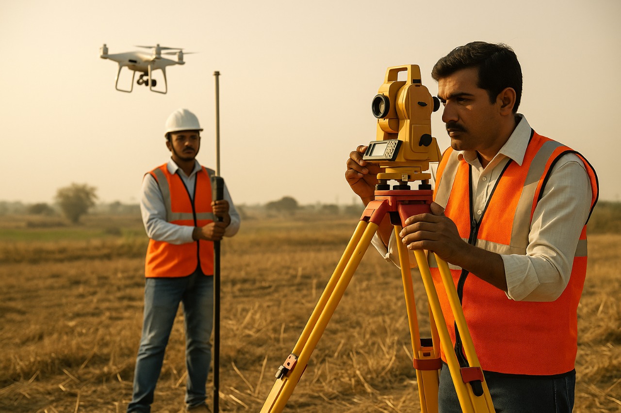
DHOLERA: Survey operations have commenced in Dholera as part of the early groundwork for developing its first Town Planning Scheme (TP1). Spearheaded by the Dholera Special Investment Region Development Authority (DSIRDA) in coordination with the Gujarat Infrastructure Development Board (GIDB), the initiative focuses on accurate land assessment through advanced mapping technologies.
Specialized survey teams are using drones, GPS tools, and satellite-based systems to carry out topographical studies across designated development zones. This detailed terrain mapping is essential for determining land elevations, plotting infrastructure layouts, and ensuring smart land redistribution under the planning scheme.
Key objectives of the survey include:
- Mapping natural drainage lines and identifying flood-sensitive areas.
- Capturing precise ground levels to inform road and utility planning.
- Gathering spatial data for environmental evaluation and town layout approval.
The survey results will serve as a crucial input in preparing environmentally sound and technically viable urban infrastructure plans. By establishing accurate land boundaries and terrain features, the government aims to streamline zoning for residential, commercial, and industrial corridors.
This initiative is a vital milestone in Dholera’s smart city vision, ensuring that the upcoming infrastructure aligns with global standards of planning, sustainability, and disaster resilience.
 Roads & drainage
Gujarat Signs Agreement to Develop Roads, Water, and Drainage in Dholera
 Roads & drainage
Gujarat Approves Budget to Boost Dholera’s Infrastructure Development
 Roads & drainage
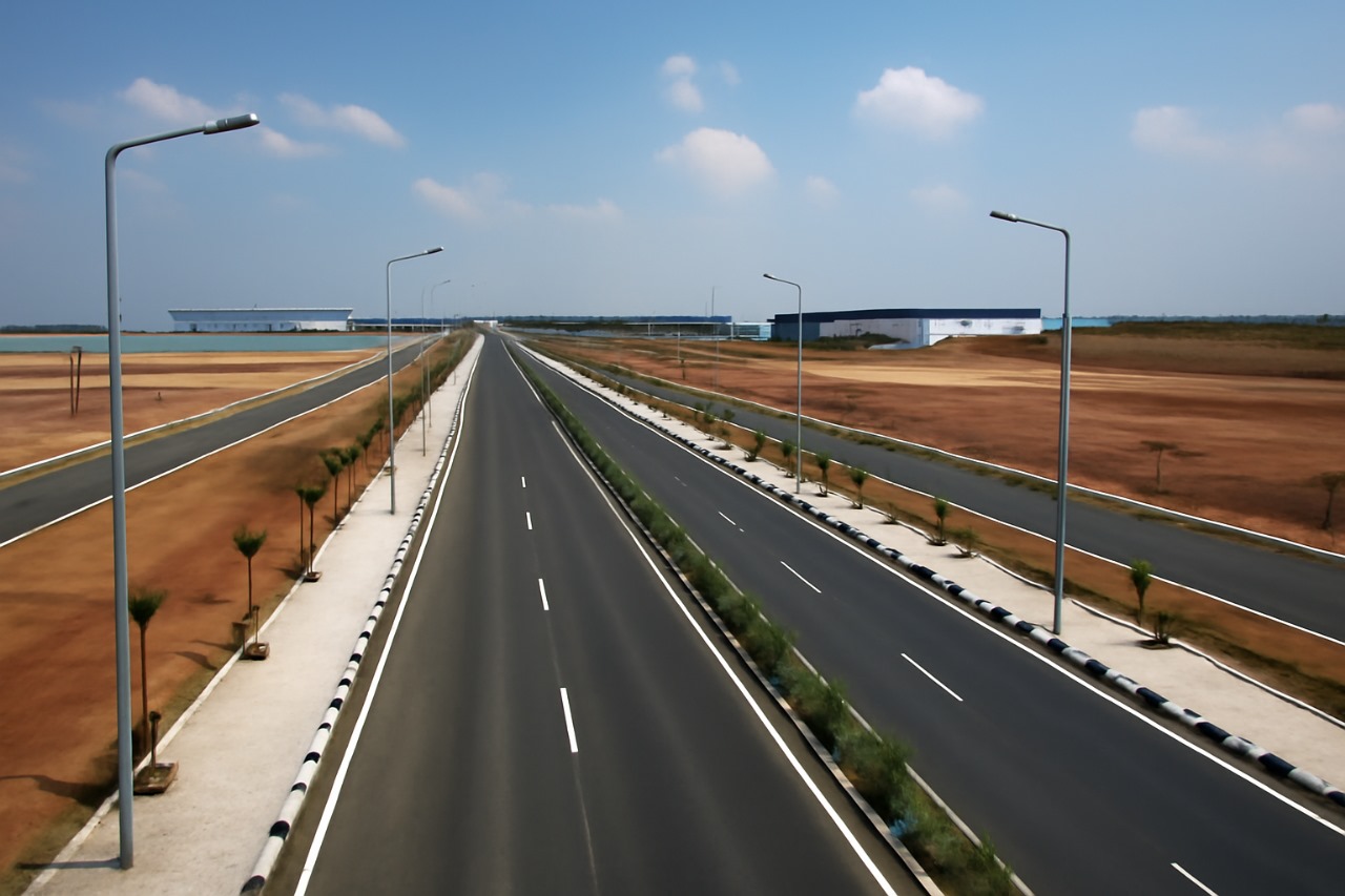
Dholera SIR Completes Key Road Infrastructure to Support Industrial Units
 Roads & drainage